Valencia’s Turia Gardens: Walk the Former Riverbed as a City Landscape
The Turia Gardens make more sense when you recognize the old riverbed beneath the park. Bridges, different bank levels and a long green corridor reveal a changed relationship between water and city. A short, purposeful section can explain that transformation without requiring a complete end-to-end walk.
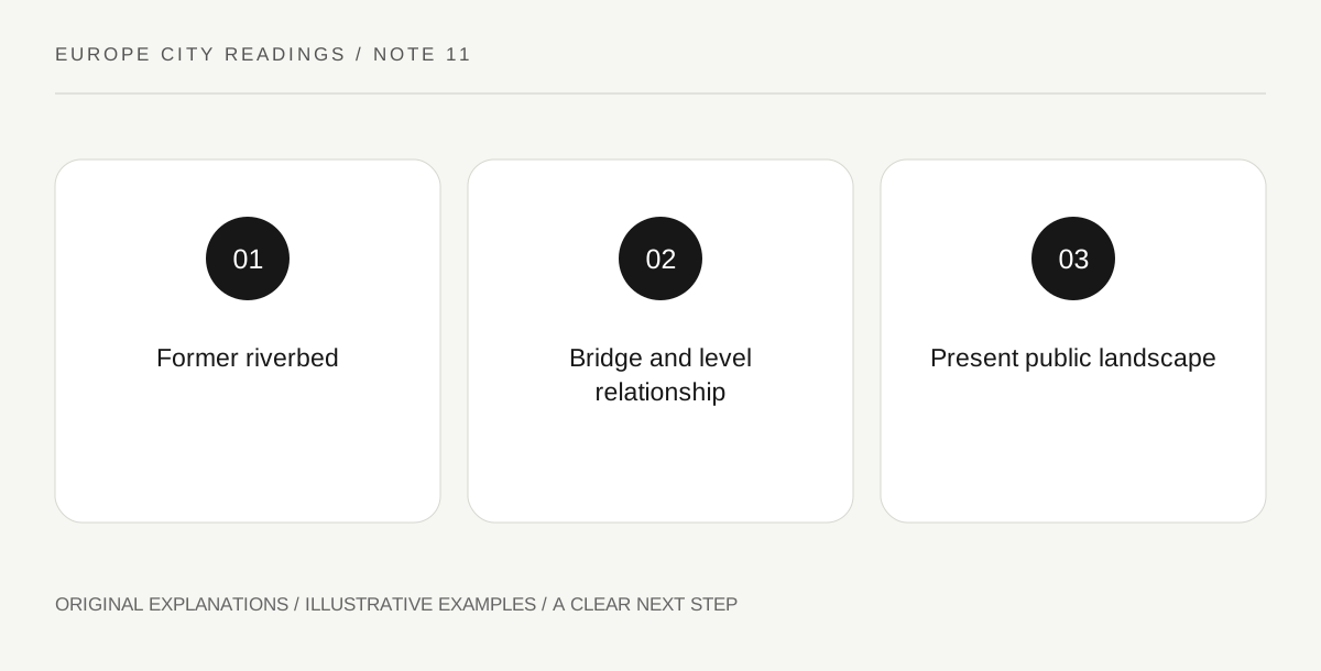
Original explanatory diagram. Read the full method and limitations below.
Begin with the river that moved
Visit Valencia describes the gardens as occupying the former Turia riverbed after the river’s course was diverted to address flooding. That is the key to the landscape. The bridges now relate to a park where a visitor might otherwise expect flowing water. Put the present gardens and chosen city destinations on a map, then distinguish the lower corridor from the surrounding streets. The historical explanation should not be confused with a current flood forecast or a claim that every part of the city’s water system can be read from this one park. It establishes the origin of the visible urban form.
Choose a bridge-to-bridge section
Select two clearly identified public access points that fit the day rather than assuming the whole linear park must be completed. Check how you enter and leave the lower space, especially if steps or gradients affect the group. A bridge name is useful for orientation, but being on the bridge and being below it are different positions. Mark the destination level in the note. If the plan includes a museum or another city site near the former bank, locate its actual entrance rather than drawing a straight line from the nearest green area and assuming it is all one continuous level.
Compare old crossing structure with new use
At a permitted stopping place, observe how a bridge’s spans, supports and approaches relate to paths, planting and recreation below. The structure can carry evidence of an earlier river crossing while serving the present city. Use the official interpretation for its date or designer rather than dating it by a stone or concrete appearance. Then notice how people move along and across the park. These are different directions of use, and their meeting points make the former riverbed legible as infrastructure turned public landscape. Avoid standing in cycle traffic while studying the relationship; choose an ordinary stopping place suited to observation.
Let the wider city appear along the edges
The tourism account connects the gardens with cultural sites and different city areas. Choose one nearby destination that complements the landscape question instead of adding every attraction shown on a route map. The park walk can provide transition and orientation, while the venue has its own admission and opening arrangements. If the weather makes a long outdoor segment unsuitable, shorten the section rather than forcing an end-to-end achievement. A useful note describes the old bed, one bridge and one present-day use. It should explain why the place has its shape, not merely record that Valencia contains an attractive green space.
Illustrative level-aware walk
A visitor selects two bridge-related access points and marks which parts are at street level and which are in the gardens. One museum entrance is checked separately. During the walk, the visitor compares a former river-crossing structure with paths and public activity beneath it. The example sets an observation theme without prescribing a full route or guaranteeing a particular facility is open.
Practical checks
Optional checkboxes save only in this browser.
Questions that come up
Why are there bridges over a park?
The official account explains that the gardens occupy the former Turia riverbed. The crossing structures help reveal that earlier relationship between river and city.
Must I walk the entire gardens to understand them?
No. A carefully chosen section can show the old riverbed, bridge structure and current public uses. Choose a length and access arrangement that fit the actual visit.
References and scope
These sources support the factual background. Examples and exercises are original illustrative teaching material. References do not imply endorsement.
- Visit Valencia: Turia Gardens — Former riverbed, changed river course, bridges and linear city-park geography.